Physical Address
Islamabad, Pakistan
Physical Address
Islamabad, Pakistan

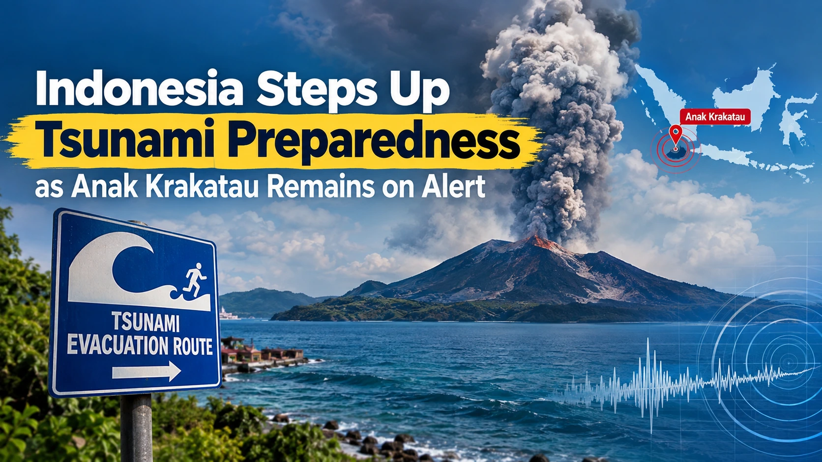
Indonesia has stepped up tsunami preparedness along coastal areas near Mount Anak Krakatau after the volcano remained at the country’s second-highest alert level.
Authorities are focusing particularly on South Lampung, on the Sumatra side of the Sunda Strait, where officials are preparing contingency plans and checking whether evacuation systems are ready. The measures come after increased volcanic activity at Anak Krakatau, a volcano with a history of triggering dangerous tsunamis.
Indonesia’s National Disaster Management Agency (BNPB) has been working with local authorities to inspect evacuation routes, assembly points, warning signs and tsunami sirens in coastal communities.
Officials have checked preparedness in several areas of South Lampung, including Kalianda, Sukaraja, Way Muli, Tarahan, Banding and Tri Tunggal. The goal is to make sure residents can move quickly to safer areas if an emergency warning is issued.
Preparedness efforts are also being strengthened on the Banten side of the Sunda Strait. BNPB teams have been assessing coastal communities in Pandeglang, Serang and Cilegon using tsunami-readiness indicators.
Despite the increased preparedness, authorities have not reported a tsunami caused by the recent Anak Krakatau activity.
Indonesia’s Meteorology, Climatology and Geophysical Agency (BMKG) said its monitoring system had not detected abnormal sea-level changes indicating a tsunami in the Sunda Strait. Monitoring continues around the clock using tsunami sensors and other observation systems.
This means the current measures are primarily precautionary, designed to ensure communities are prepared should conditions change.
Mount Anak Krakatau experienced a prolonged eruption beginning on September 4, with the continuous eruptive episode lasting roughly 25 hours. Although that episode ended, Indonesia’s geological authorities have kept the volcano at Level III, or “Siaga,” and continue to monitor its activity.
The volcano is located in the Sunda Strait between Java and Sumatra. Its location and history make authorities particularly cautious about possible secondary hazards, including tsunami risks.
Officials are urging residents, fishermen and visitors in coastal areas to follow instructions from authorities and avoid dangerous zones around the volcano.
The Indonesian government is continuing coordination between disaster-management agencies, geological monitoring teams and local governments to ensure warnings can reach communities quickly.
For now, no tsunami has been detected, but Indonesia is maintaining a heightened state of preparedness while Anak Krakatau remains under close observation.
Indonesia’s decision to strengthen tsunami preparedness highlights the importance of early warning and evacuation planning in a country frequently exposed to earthquakes, volcanic eruptions and tsunamis. Authorities are checking sirens, evacuation routes and emergency plans while continuing to monitor Anak Krakatau around the clock.
Residents in potentially affected coastal areas are advised to remain calm, stay informed through official channels and follow evacuation instructions if authorities issue an alert.